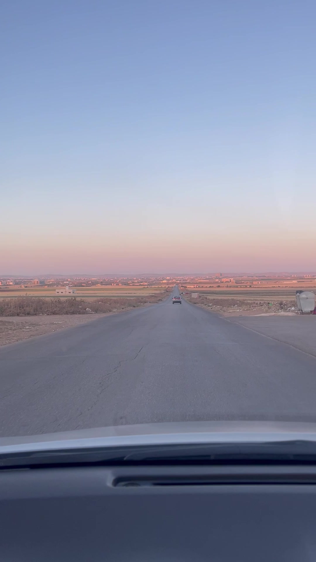
From the western edge of Umm Qais you stand at 378 metres above sea level on the lip of an escarpment that drops 1,000 metres into the Yarmouk gorge. To the north-west, the Sea of Galilee. To the north, the southern Golan Heights. On clear days, Mount Hermon. Below you, the Yarmouk River — and the river is also the modern border. From this single viewpoint you can see four countries: Jordan, Israel, Syria, and (on the very best days) southern Lebanon.
The Greco-Roman city of Gadara was here for the same reason. The view is what made it strategic.
1Why visit Umm Qais
Gadara joined the Decapolis under Roman rule after 63 BCE, and prospered through the Severan period (193–235 CE). Unlike Jerash, the ruins are partly rebuilt with black basalt — the volcanic stone of the Hauran plateau — which gives Umm Qais a distinctive aesthetic that Jerash's white limestone doesn't share.1
The site is less visited than Jerash and easier to be alone in. The view alone is worth the drive.
2What to see in the ruins
- The black basalt theatre. The west theatre — fully built from the local volcanic stone — sits on the western escarpment. Smaller than the Jerash theatres but with a better view.
- The decumanus maximus. The east-west colonnaded street, partly excavated, lined with shop foundations.
- The five-aisle basilica church. A late-antique Christian church built on top of an earlier pagan temple.
- The underground Roman mausoleum. A barrel-vaulted tomb chamber accessible from the south of the site.
- The Ottoman-era village. The 19th-century stone houses on the eastern part of the hill — built by villagers using stone quarried from the Roman ruins. Some now house the Umm Qais Museum.
3The view: Galilee, Golan, Yarmouk
Walk to the western edge of the site and look north-west. On a clear day you will see:
- The Sea of Galilee (Lake Tiberias). Israeli side; the lake is the colour of slate against the green Galilean hills.
- Tiberias on its western shore.
- The Golan Heights directly north — the basalt plateau that supplied the stone for Umm Qais itself.
- The Yarmouk gorge, immediately below — a 1,000-metre drop, with the river forming the Jordan-Syria border.
- Mount Hermon on exceptionally clear days — the snow-capped peak in the far north.1
4The Battle of Yarmouk (636 CE)
Less than a kilometre below the western escarpment, in the gorge that's now the Jordan-Syria border, the Battle of Yarmouk in 636 CE ended Byzantine rule in the Levant. The Rashidun Caliphate's armies under Khalid ibn al-Walid defeated the Byzantine field force; within months Damascus fell, and within a decade the entire region was under Arab Muslim rule. The battle is considered one of the most decisive in world history. Standing at the cliff edge, you are looking down on the site.1
5Getting there
Umm Qais is roughly 110–120 km north of Amman — about 2 hours each way. Best as a long day trip:
- Drive yourself. 2 hours each way. Best route: Amman → Irbid → Umm Qais. The last 30 km is a winding road through olive groves.
- Combine with Jerash and Ajloun. Hard but doable in a single very long day from Amman: Jerash → Ajloun → Umm Qais → home. Plan 12+ hours total.
- Public transport. Bus from Amman to Irbid, taxi to Umm Qais. Possible but tedious.
The Jordan Pass covers Umm Qais entry along with most major sites.2
For solo travellers
Bring a paperback and plan to spend 3 hours on-site, including a long sit at the western edge for the view. The Umm Qais Museum is small but worth 30 minutes.
For couples
Time it for late afternoon — the view is best in golden light, and the basalt warms beautifully. Stay for sunset; have dinner at the Beit Al Baraka rooftop in the Ottoman-era village.
For families with kids
Map the four-countries view as a quiz: which one is Israel? Which is Syria? Which is Jordan? The underground mausoleum is a small adventure (bring a flashlight).
For adventure travellers
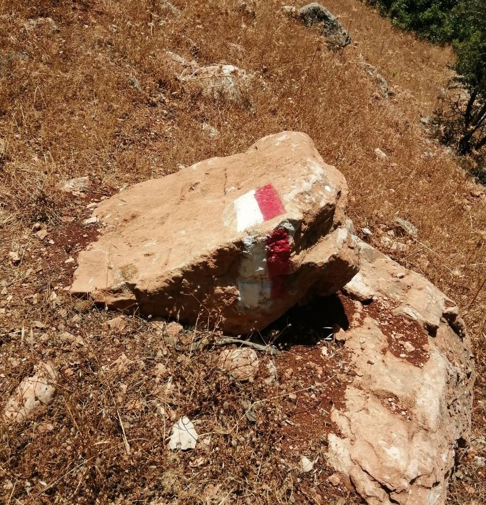
The Jordan Trail's northern terminus is at Umm Qais. If you've walked any section of the trail, finish at the western edge for the view. The trail-end marker is near the basilica.
Accessibility notes
The Ottoman village area is largely paved and partially accessible. The Roman ruins have uneven surfaces. The western viewpoint is reachable by car (separate parking near the museum) without significant walking.
6Practical tips
- How long. 2–3 hours minimum for ruins + museum + the view. 4 hours if you also walk the Ottoman village.
- Best time of day. Late afternoon for the view; midday clarity is often hazy in summer.
- Footwear. Trainers; the Roman pavements are uneven.
- Combine with. Hard from Amman in a single day with Jerash + Ajloun, easy as part of a 2-day north Jordan loop.
- Photography. Long lenses help for the Galilee/Golan view. Tripods welcome. Drones not without permits.
References
Verified by locals: TBD — this article will be reviewed by a Department of Antiquities-affiliated guide before final publication. Drafted from Wikipedia and the Jordan Pass official site.

Comments (0)